
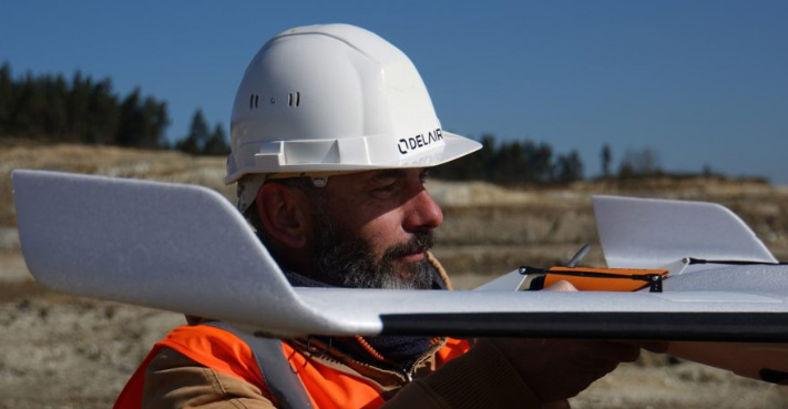
Delair is the one-stop shop for enterprise digital applications: from data collection to business intelligence. Delair’s professional fixed wing drones are the ideal tool for acquiring aerial data faster and farther. They cover large surfaces with each smooth and stable flight.

Data Capture Solutions
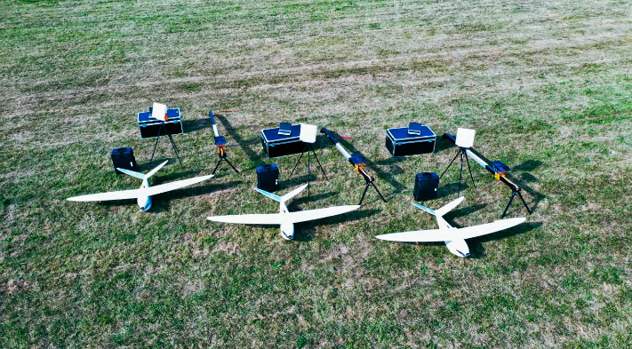
Delair provides field-proven drone solutions to customers worldwide for land survey and mapping applications. Maps provide critical sources of geographic information to users in countless industries and the crisp aerial imagery, surface models, and point clouds derived from data collected by Delair drones guide their users to business insights.
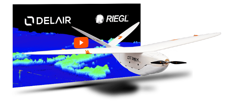
The Delair UX11 solution enables geospatial professionals such as land surveyors, mine engineers, GIS analysts, and field technicians to capture aerial imagery with an intuitive easy-to-use workflow. Meanwhile the Delair DT26E LiDAR lends itself to more complex projects with its dual sensor payload that collects LiDAR and photogrammetry data at the same time.
With Delair’s professional mapping drones, you can map sites large and small, and create accurate digital surface and terrain models with or without vegetation cover.
Agriculture, and forestry, Data Capture Solutions
DELAIR’s long history in agriculture and forestry has culminated in the UX11 Ag, a BVLOS ready drone with a specialized camera for mapping plants. Thanks to its unique BTOL (bird-like takeoff and landing) feature, it can be operated in virtually any agricultural or forest setting.
Unlike smaller multirotor drones, the UX11 Ag is adept and efficient when it comes to acquiring multispectral images over large areas. It even displays the images in real-time on the pilot’s tablet in both a visual RGB rendition and an on-the-fly NDVI (normalized difference vegetation index). Equipped with PPK, a cellular connection, and a rugged design, the UX11 Ag is ready to fly in harsh environments.
Security and Defence, Data Capture Solutions
For 10 years, Delair has been providing field-proven drone solutions to customers around the world in the security and defense industry.
Among others, Delair drones have flown for thousands of flight hours in Ukraine with OSCE to help monitor the border with Russia. In Niger, local military forces use Delair drones in the fight against terrorism for surveillance and protection of the territory (see article). Special Forces teams within the French Army also use DELAIR drones.
Delair’s security and defense team is composed of former operational French military troops with extensive experience and a comprehensive understanding of your needs.
Data Capture Solutions
Delair UAVs are the best solution for visual data acquisition and inspections of linear assets or infrastructure.
Our experience and close partnerships with major electric transmission and distribution companies have resulted in industrialized and proven solutions that meet the specific requirements of the electric power industry. RTE, the French power transmission company, has been using our systems for several years to inspect and digitize their power lines.
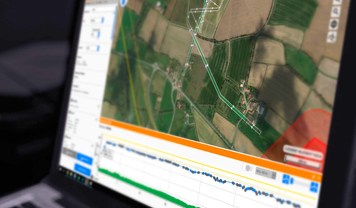
Advanced mission planning tools for corridor mapping in Delair Flight Deck Pro and the incredible extended communications range with the Delair Xtreme Link or the Delair Cellular comm link make Delair an ideal choice for any asset manager or subcontractor working on linear infrastructure.